9 days. Two high passes. One old cheese factory. And a trail that most people in Nepal have never heard of.
I’ll be upfront. I didn’t plan this trek the way you’re supposed to plan a trek.

I live and work in Ramechhap. I’d been hearing the name Numbur Cheese Circuit for months – from a forest ranger, from a guy at a tea shop in Shivalaya, from a colleague who said “you should go, it’s not like the other trails.” Nobody described it in detail. Nobody really pushed it. It just kept coming up, quietly, the way important things sometimes do before you pay attention to them.




So eventually I went.
Nine days. Starting and ending at Shivalaya. Two passes above 4,600 metres. Sacred lakes, empty yak kharkas, a ruined cheese factory, a campsite with no water despite the name literally meaning “slope where water is found.” And Dudhkunda – but I’ll get to that.
This is what the trail was actually like, day by day.
Day 1 – Shivalaya to Lachhewor
Shivalaya is a small bazaar. Easy to underestimate. There’s a row of shops, some vehicles, the usual mountain-town energy in the morning. But this is the entry point for the Numbur Cheese Circuit, and once you leave it behind, the road starts climbing and the town disappears fast.
We took a vehicle. The road to Lachhewor is unpaved and dusty and the kind of bumpy that rattles your back teeth, but the views make up for it. We passed through Chuchure, Ilchire, then the villages of Serding, Gumdel, Kyama, Tangding – each one sitting in its own fold of hill, each one doing its own thing, none of them particularly interested in being scenic. Which is exactly what I liked about them.
We reached Lachhewor at five in the evening. 2,665 metres. Stone houses, small courtyards, smoke coming from somewhere, that particular mountain-evening silence that cities don’t have. We stayed at a camp near the Likhu Nupche hydropower project site – basic, fine, enough.
I sat outside after dinner for a while. The river below made a continuous sound. I hadn’t looked at my phone in hours without meaning to stop.
That’s how you know a place is working on you.



Day 2 – Lachhewor to Ngeju Kharka
We were supposed to walk this whole section. We didn’t, quite.
The hydropower project had a vehicle going to Gonda and offered us a lift for that stretch. We took it. I’m still a little conflicted about that decision – there’s something about skipping trail distance that bothers the trekker part of me – but the Likhu Khola running alongside the road, the canopy closing overhead, the moment the forest properly swallowed us – none of that felt like cheating.


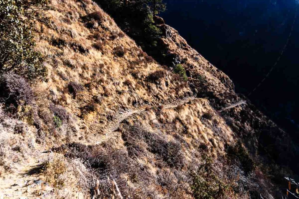
From Gonda we walked. And the walking was immediately steep.
First hour was hard. Legs not warmed up properly, altitude already doing its thing, the trail not interested in being gentle. But somewhere around the second hour the forest started being interesting enough to distract from the effort. Rhododendron trees. Sal. The smell of pine at higher elevation. A stone chorten called Kangchhyorten sitting at a bend in the trail, prayer flags moving in the wind.
We passed Bakam Kharka – open meadow, good rest spot – and kept going.
At Ngeju Kharka there’s a shelter house. Basic structure, flat ground around it, and a signboard that I stopped to read twice: this is where the trail to Everest Base Camp splits off. Most trekkers go that way. We were going the other direction, into territory that doesn’t show up on most tourist maps.
It felt good, honestly. Like choosing the less-told story.


Day 3 – Ngeju Kharka to Pokhari Kharka
I want to describe Dudhkunda properly. I’ve been thinking about how to do it since I got back.
The morning started along the Likhu Khola, the trail climbing through forest that got denser and quieter the higher we went. The river was loud. Numbur peak appeared occasionally through the trees – just the upper section, white and enormous, appearing and disappearing like it was deciding whether to show itself.
We climbed for several hours. My breathing was getting deeper in that altitude way – not distressed, just more deliberate, like your body reminding you it’s working harder than usual.
And then we came around a bend and the lake was there.
Dudhkunda. Milk lake. The name makes sense when you see it – there’s a pale quality to the water in certain light, something between white and blue, very still, the mountain reflected in it almost perfectly. I stood at the edge and didn’t say anything for a few minutes. Nobody did, actually. Sometimes the right response to a place is just to be quiet in it.
We camped at Pokhari Kharka, the flat area nearby. As the sun dropped, Numbur turned orange, then deep red, then the colour left it and the stars came out. The tent fabric moved in the wind. It was cold and it was exactly right.


Day 4 – Gyajola Pass, 4,870 Metres
Up before light. Headlamps. Frost underfoot making that dry crunch. The trail immediately going steep.
Gyajola Pass is the highest point of the circuit – 4,870 metres – and getting there takes most of a morning. The trail crosses loose rock, the wind picks up the higher you go, and somewhere above 4,500 metres your lungs start making themselves known. Not painful. Just present. A reminder that you are small and the mountain is large and oxygen has limits.
I won’t pretend the last section was easy. Hands on knees at points. Stopping to breathe. Moving again.
And then the top.
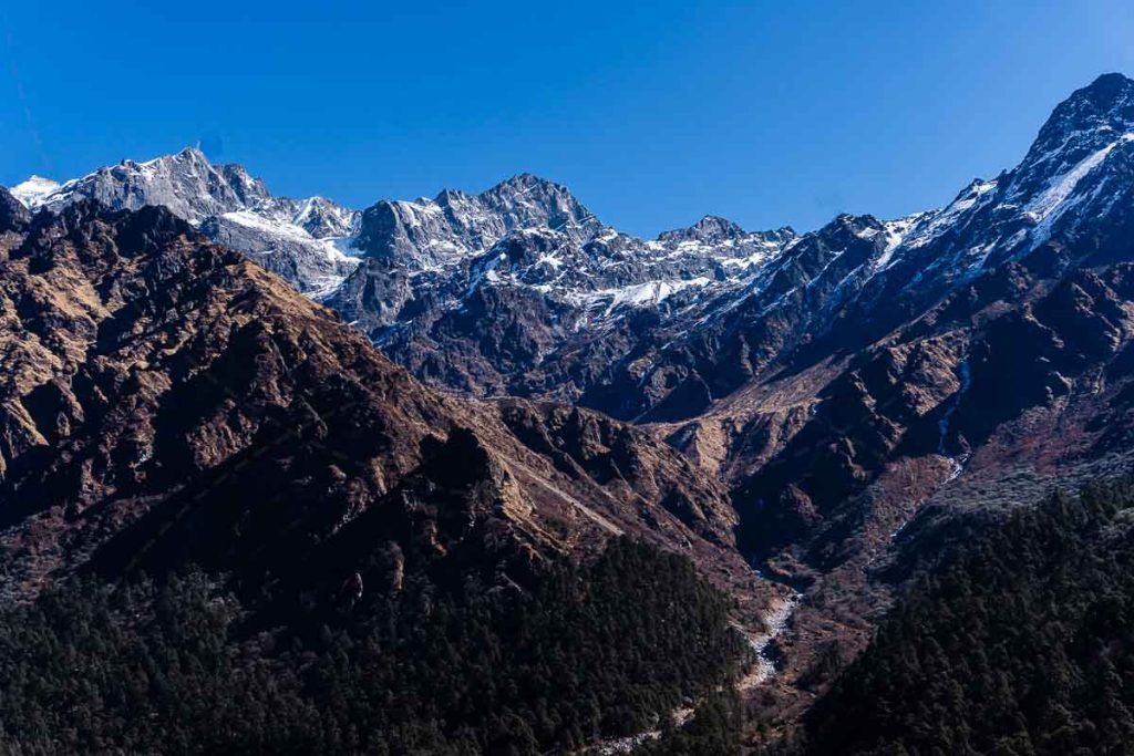
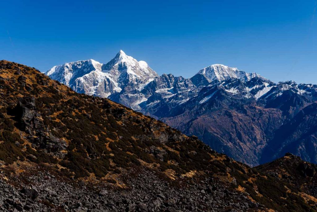
I turned around slowly and I could see Numbur, Likhuchuli, Sana Lapcha, Thulo Lapcha – a full ring of peaks standing in every direction, all of them enormous, all of them quiet. The valleys we’d walked through for three days looked tiny below. The whole thing was so big it almost didn’t register as real.
I remember a clear thought at that moment: the trail doesn’t end at the pass. Something else ends there. Some version of whatever you were before you came up.
The descent to Tare Kharka was hard on the knees – steep rock going down after that altitude is genuinely punishing, and I’m not going to soften that for you. At Tare Kharka there’s an old shelter house, badly damaged in the 2015 earthquake, still not rebuilt. We camped near the ruins of a cheese dairy at the edge of the flat ground. The walls were still standing. The roof was mostly gone. Nobody had made cheese there in a long time.
I went to sleep thinking about that building.


Day 5 – Old Dairy to Khola Kharka
This day is where the name of the circuit starts to mean something.
That ruined dairy near our camp – and others like it scattered through this high region – used to produce something called Himalayan cheese. Yak and chauri (a yak-cow cross) herders would bring their animals up to the summer pastures, milk them in the early mornings, and work with the Dairy Development Corporation to produce hard rounds of cheese that were sold across Nepal. Good cheese. Mountain cheese. The kind that comes from animals eating real alpine grass at real altitude.
The herders are mostly gone now. The animals are fewer. The kharkas – high pastures – that used to be grazed are thick with grass because nothing is eating it. The trails through those sections are overgrown. The factories are ruins.
I found this genuinely sad in a way I hadn’t expected.
The trail that day had its own personality: a landslide-damaged section that required care, then a steep uphill through dense nigalo bamboo, then suddenly a long ridge covered wall-to-wall in Dhupi trees – blue pine – with the light coming through in long slanted lines. We had no name for this ridge on any map, so we called it Dhupidanda. Further along, a dried lake bed, cracked mud at the bottom. We called that Sukeko Pokhari – the dry lake.
We rested there a while. Ate something. Listened to the wind.
By afternoon we found Khola Kharka, camped by a stream, and I slept with the sound of moving water nearby.






Day 6 – Khola Kharka to Terse
The longest day in terms of what it holds.
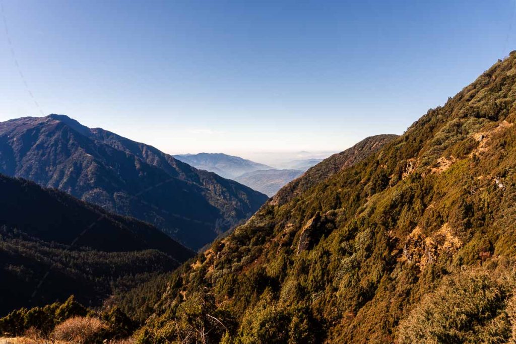
From Khola Kharka we climbed through Lukharka – an old sheep pasture, wide and open, with a straight-on view of the Numbur range that stopped me three separate times just to look. Then the trail continued upward toward the Panch Pokhari Pass at 4,600 metres. Just before the pass, I walked through a field of Sarmaguuru – a wild medicinal herb that grows in such dense patches at this altitude it genuinely looks like someone planted it in rows. They didn’t. It just does that.

The climb to the pass was hard. Heartbeat fast. Lungs full. Each step deliberate. I was breathing through my mouth by the last hundred metres.
Then I was at the top and I saw Panch Pokhari below.
Five lakes. That’s the translation – five lakes. And there they were: five separate blue bodies of water spread across a high plateau, each one reflecting sky, trishul tridents planted at the edges, prayer flags moving in the mountain wind. They sit at 4,500 metres and they’re considered sacred – on Janai Purnima, the full moon festival, pilgrims come here from Dolakha and Ramechhap. Standing there in the cold and the wind, I understood why.
Half an hour further down: Jatta Pokhari. Another sacred lake. Old lungdar prayer flags surrounding it, so weathered the colours were mostly gone. Two holy lakes in one afternoon. I’d been to temples and monasteries that carried less weight than these two stretches of mountain water.
We reached Terse for camp. Barely any firewood. We scavenged roots, bark, dried branches, built the smallest fire that could still technically be called a fire, cooked dinner, and got into sleeping bags early. Cold night. I kept my socks on.


Day 7 – Terse to Chhingangmu (Alternate Route)
The main Numbur Cheese Circuit route continues from Terse toward Mane Danda. We took the alternate – through Jhyal Dhungaa, Chhingangmu, and eventually to Serding. More remote. Fewer footprints. More ponds.
The morning smelled of Sunapati flowers, that dry-sweet alpine smell. We passed Kalo Dhungaa – a massive black rock with old prayer markings on the surface, one of those places where people have been stopping and leaving offerings for so long that it’s become sacred almost by accumulation. Nobody put a plaque on it. Nobody needed to.

The yak kharkas along this route were completely empty. Winter – the animals had moved lower – but also something more permanent. Fewer people are doing this. The younger generation of herder families is choosing cities and other work, and who can blame them, and also – something is being lost.
We arrived at Chhingangmu in the late afternoon. The name in Sherpa means “slope where water is found.” I’m telling you this because of what happened next, which is that we could not find water anywhere. We searched every stream. Checked every hollow. Looked for ice, for snow patches, for anything. Dry. Everything dry.
Dusk coming. No water. Camp half-set-up.
Then a voice from across the slope – one of our group had gone further and found a small trickle, barely running, half-frozen. We walked over. Drank a lot. More than felt polite, probably. Set up the tents in the last of the light.
Chhingangmu. Slope where water is found. It was there. We just had to work for it.


Day 8 – Chhingangmu to Serding
Day eight moves through the best ridge scenery of the whole route, which is saying something by this point.
First came Kalo Pokhari – dark surface but actually a deep, transparent blue when you look into it. The name means black lake, but it isn’t black. More like a colour that doesn’t have a good word in either Nepali or English, something between midnight and indigo. I stood at the edge and just looked for a while.
Then uphill to Bhale Pokhari – slightly higher, slightly larger, named “male lake” because in our hills, the one that’s higher up or stronger gets called male. Our society being what it is. Both lakes beautiful in completely different ways.
From the ridge above: Pike Peak in the distance. Seramchok Danda below. The faint line of Lamjura Pass. The trail was going downhill now, which meant easier walking, which also meant the trek was ending. Those two facts sat together in a complicated way.

We pushed to reach Serding by evening. Long push. Legs tired from eight days. But the thought of sleeping inside was enough. We arrived after dark, found a simple hotel, ate a proper meal for the first time in a week, and I slept without waking until morning.


Day 9 – Serding to Shivalaya
Last day. And honestly a good one.
The trail descends through Sherpa villages and terraced fields. The walking is easier – your body knows the end is near, or maybe just that the hardest parts are behind you. We passed Chitre Pokhari, a small quiet lake that would have been beautiful at any other point in the journey – after everything we’d seen, it was small and calm and somehow perfect for that.
Then Thodung Dairy.
This is Nepal’s first yak cheese factory. Established in 1957. Still running. There were workers inside – pressing rounds of cheese, turning them on wooden shelves, the smell of warm milk and rennet and something faintly sharp in the cold mountain air. I bought a piece. Ate it standing in the courtyard.
Nine days earlier I’d camped next to the ruins of a dairy that had stopped producing. Now I was standing in one that hadn’t. Same mountain. Same tradition. Different outcome so far. The circuit makes sense when you stand in Thodung – the cheese isn’t just a name or a marketing concept, it’s an actual thread running through the entire landscape, from the high summer pastures to this building to the markets in town.
We continued through Thodung Gompa – a small Buddhist monastery that offered a quiet, unhurried goodbye to the mountains – then down through Deorali, Mane Danda, and finally back into Shivalaya.
I took my boots off. Sat down. Someone brought tea.
That was it. Nine days done.


A Few Honest Notes if You’re Planning to Go
This is not the trek for you if you need comfortable lodges and a well-worn path. The Numbur Cheese Circuit is remote. Most nights are camping. The trails in the alternate route sections are faint or unmarked. Water sources become unreliable at altitude – carry a filter and never assume a kharka or stream will have water just because it’s on a map.
Two passes to cross: Gyajola at 4,870 metres and Panch Pokhari Pass at 4,600 metres. Both are serious. Give yourself time to acclimatize, walk at your own pace, and don’t underestimate what sustained altitude does to your energy over multiple days.
Go between March and May or September and November. The spring rhododendron bloom on the lower sections is genuinely worth timing your trip around. Winter is doable for experienced trekkers but hard. Monsoon is not recommended.
Take a local guide. Not because you’ll be in danger without one, but because the alternate route sections require actual route knowledge, and a local guide keeps money in the hands of communities whose main income depends on people walking this trail. The circuit needs more visitors to survive as a living route – it needs them spending locally, not just passing through.
We found plastic waste at Jatta Pokhari. Sacred lake. Garbage floating at the edge. Please take out everything you carry in.


The Thing About Numbur Cheese Circuit
I’ve been trying to figure out what to say at the end of this, and I keep coming back to the cheese dairy ruins at Tare Kharka on night four. That building was once part of something – a whole system of seasonal movement and animal husbandry and high-altitude production that sustained communities in these mountains for generations. It’s quieter now. The pastures are overgrown. The young people have left.
The Numbur Cheese Circuit exists in that space between still-here and nearly-gone. The trail is real. The culture is real. The landscape is extraordinary. But it needs people to walk it, to talk about it, to choose it over the crowded routes.
If you’re looking for somewhere that still feels like a genuine mountain journey rather than a managed tourist experience – this is it.
Come and walk it.
Just, you know. Take your rubbish home.
Questions about the route, campsites, gear or logistics? Leave a comment or get in touch – happy to help with planning.